Current Trail Map
Click the button to view the current ARTinCC Map. The map by Beran Environmental Services shows the extent of the trail from Emlenton to Foxburg. The maps are overlays of aerial photography, topo contours at 2′ intervals, the former railroad corridor, 100 year flood contour and the rough Assessor’s Office plat map (which is not based on actual surveys).
The Beran map displays the 66’ wide trail corridor with a dotted red line. The blue maps are the 1918 ICC Railroad Valuation Maps which document the nature and location of the former PRR railroad corridor. If you blow up a section of the trail corridor on your computer, you can see the challenges involved in squeezing a bike trail, dirt and gravel road for landowners, and adequate stormwater management, in often tight spaces. All stormwater piping is displayed, which in many cases is clogged and will have to be replaced, if not possible to blow out obstructions.
Existing Conditions
The entire 3+ miles from Emlenton to Foxburg is undeveloped, and may contain hazards, particularly to children. We ask that everyone stay off of the trail corridor until we have the opportunity to design and implement improvements, as well as secure the permission from all landowners to proceed. This website contains photos not only of the immediate area of the trail, but also within the vicinity. We have no finished trail about which we have great pride, only fabulous views of woods and river. Photos of trail in the vicinity give you a good idea of some of the splendors of the area, which we hope to soon display from Emlenton to Foxburg. Photos and recommendations of trail improvements below are based on existing conditions viewed February 2021. Click on images to enlarge.
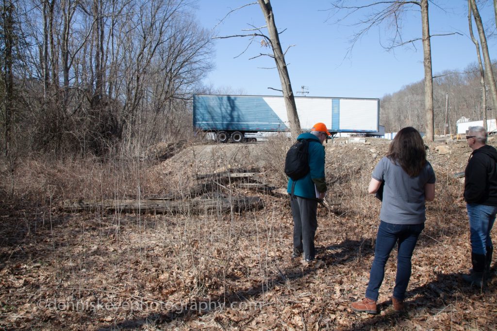
ARTinCC controls all right-of-way the entire length of the trailer and to the river on the left. We can move as much fill as needed to create ADA compliant access. The elevation increase is all fill that can be moved. Trailers parking is temporary.
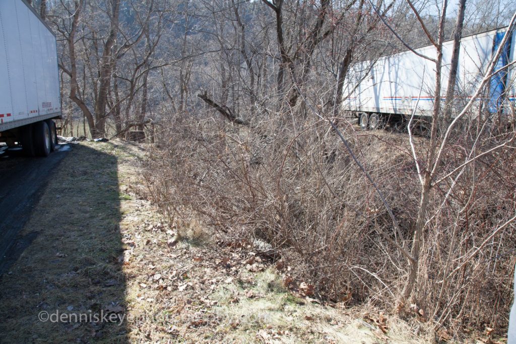
This ravine is approximately 10 ft deep. It will require a sufficient drainage pipe and burial with fill which we can move. There are two such drainage ravines over which the trail must be built. Ravine repair is costly.
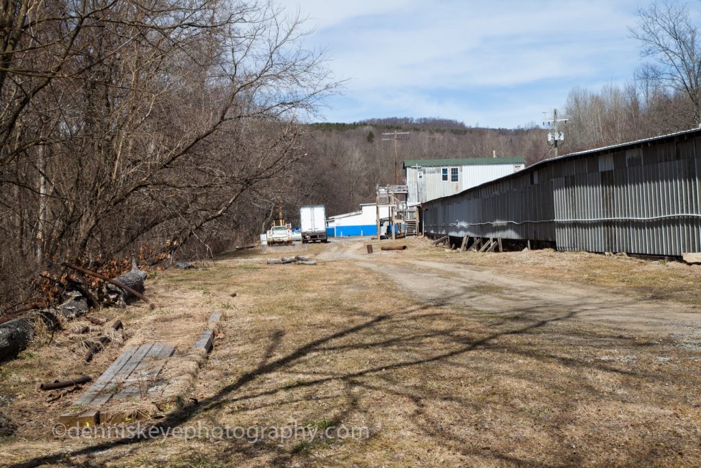
ARTinCC controls all right-of-way from the back edge of gray building to the river on the left.
ARTinCC controls all right-of-way from second post on the right at the blue building to the river on the left. If we remove this bay of the building, we must replace it elsewhere.
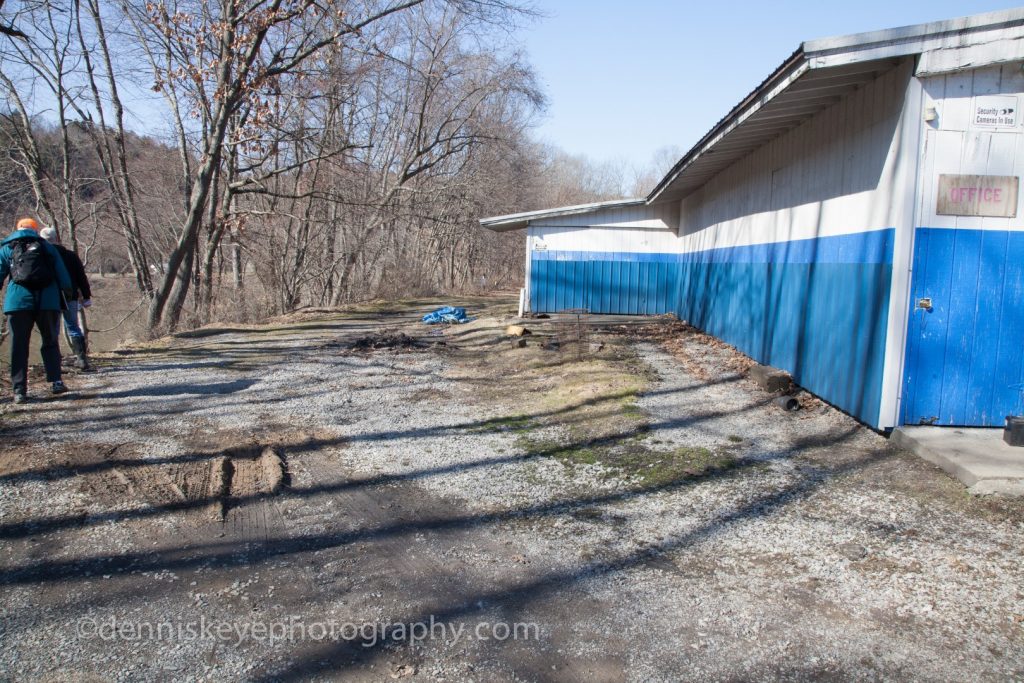
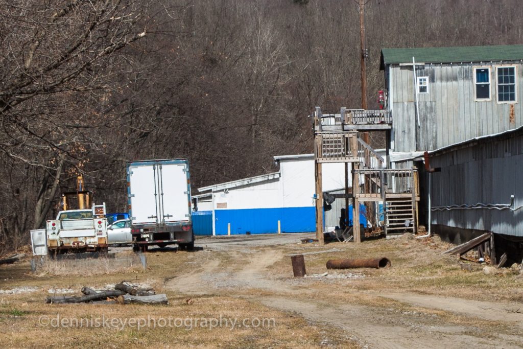
ARTinCC controls all right-of-way to the river on the left, plus the 20’ of encroaching building bay and coal bin shed.
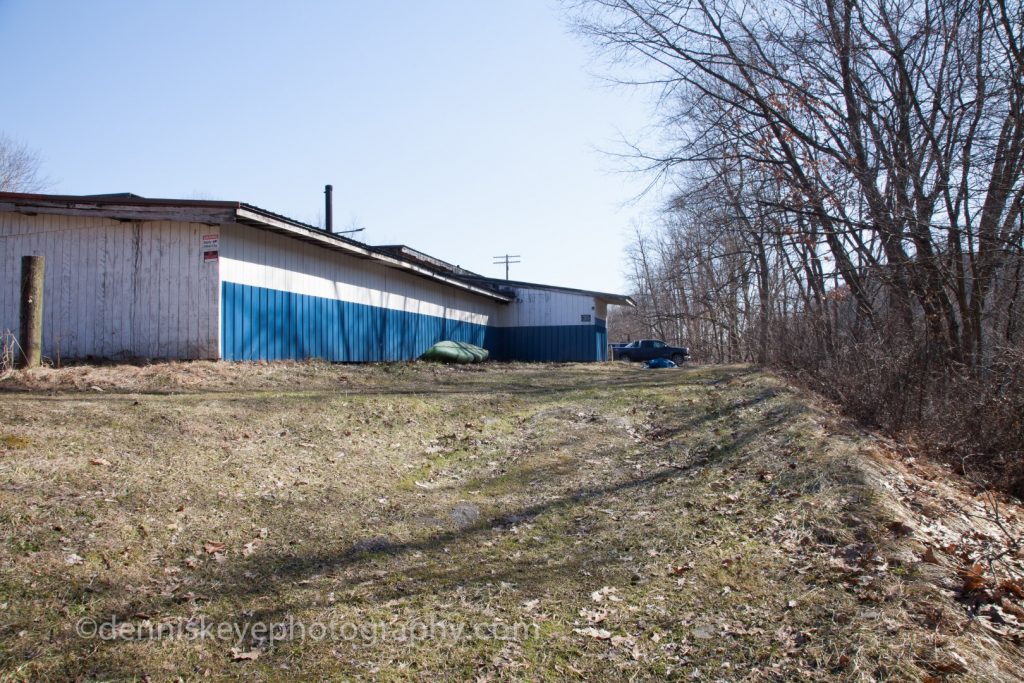
ARTinCC controls all right-of-way from pole on left to the river on the right. We can remove this entire bay if necessary.

ARTinCC controls all right-of-way (66’ wide) from the Foxburg bridge. This is a common slight elevation change we can widen with fill we have available.